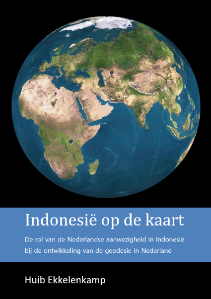
Indonesia on the map
The boards of the KIVI Department of the History of Engineering and of the Histechnica Association have the pleasure of inviting you to attend a lecture to be delivered by Dr Huib Ekkelenkamp, titled:
"Indonesia on the map"
The role of the Dutch presence in Indonesia in the development of geodesy in the Netherlands.
Programme:
10.30 hrs: Building open; reception with coffee
11.00 hrs: Lecture by Dr Huib Ekkelenkamp
11:50 hrs: Break
12:15: Continuation of lecture / concluding discussion
12:45: End of meeting.
Summary of the presentation
Making geographical information comprehensible and visible through maps has enjoyed great interest for centuries. This was particularly true after the great changes in national and colonial territory around 1800. The new independence of America, the conquests in India by the British, the Batavian-French and English periods in the East Indies and the transfer of Dutch territories in Asia to Britain resulted in a great interest in new maps. Colonial activities in the 19th and first half of the 20th century made it constantly necessary to improve existing land and sea maps and map new areas. In this, the development of the field of science geodesy, including topography and hydrography, played a dominant role. For the Netherlands, reliable maps of the East Indies/Indonesia were of great importance. However, the influence of the colonial past on the development of new geodetic methods has hardly received scientific attention. It was investigated how the Indonesian archipelago was mapped between 1800 and 1990. The Indonesian surplus contributed one-third to the Dutch state budget in the 19th century and made it possible to finance a significant part of the Royal Academy in Delft, from which TU Delft emerged. The developments of cities and public works, railways and tramways, and telecom links in the East Indies, to which engineers contributed significantly, required extensive geodetic measurements by surveying, levelling, triangulation and hydrography. Meteorological and geological conditions resulted in perturbations due to atmospheric refractions and plumb deviations, which were different from those in the Netherlands. As a result, an adapted geodetic methodology was needed. Initially, triangulations were used as a retrospective check of the topographic recordings. It took a paradigm shift to realise that triangulation should precede those surveys, thus providing a mathematical basis for cartography. Results in the Dutch East Indies in the geodetic field were not inferior to developments in Europe and India. The Netherlands owes much to the experience gained in geodesy and related disciplines, such as gravimetry, photogrammetry and hydrography in the tropics, and acquired great international prestige.
Information about the speaker, Dr Huib Ekkelenkamp
Huib Ekkelenkamp studied electrical engineering and telecommunications at Delft University of Technology. He did research into fibre optic communications at the PTT laboratory and then worked internationally for PTT, later KPN, in the field of telecom network planning, including many years in Indonesia and in Central and Eastern Europe. He held management positions in Telecom Consultancy and IT Business Development at KPN and Atos. Measuring instruments and processing of measurement data, now and in the past, have his special interest. This is especially true for navigation aids, geodetic measuring instruments and accurate clocks. Based on his interest in new technical developments and history of engineering, especially telecommunications, geodesy and cartography, he holds board positions at the Royal Institute of Engineers and at the De Hollandsche Cirkel Foundation for the preservation of geodetic heritage. He received his PhD from Delft University of Technology in April 2019 on "Indonesia on the map. The role of the Dutch presence in Indonesia in the development of geodesy in the Netherlands".
Due to the necessary planning for accommodation and catering, you should register in time to attend this lecture, and please do so by Saturday 1 February 2020.
How to register:
- KIVI members should register via the KIVI website (red button on the right)
- Interested parties who are not KIVI members are also welcome and can register there. Please note that there are costs involved.
---------------------------------------------------------------------------------------------------------------------------------------------------
Upcoming activities:
- saturday 14 March 2020:
1. General Members' Meeting of the KIVI History of Engineering Section, followed by:
2. Lecture on the visionary and social industrialist J.C. van Marken (lecture by ir. Jan van der Mast, urban planner, writer, biographer)
- saturday 4 April 2020:
1. General Members' Meeting of the Histechnica Association, followed by:
2. Lecture on Vanished Railway Lines (lecture by Victor Lansink and Michiel ten Broeke)
3. Distribution of travel documents for participants of Study Trip to Turin and Bologna in May 2020