

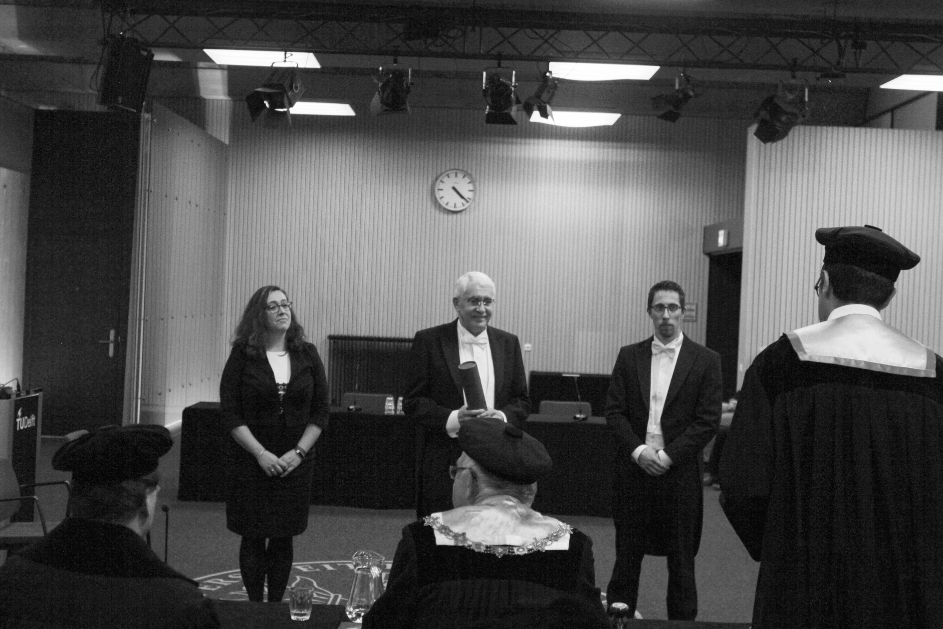
Huib Ekkelenkamp received his doctorate on 9 April 2019 for his research on "Indonesia on the map". The thesis was approved by the promoters Prof Dr R.F. Hanssen (Delft University of Technology, civil engineering and geodesy) and Prof Dr H.W. van den Doel (Leiden University, contemporary history and Indonesia). The separate doctoral committee, consisting of 5 independent professors from the Netherlands, further assessed the thesis and could still suggest modifications.
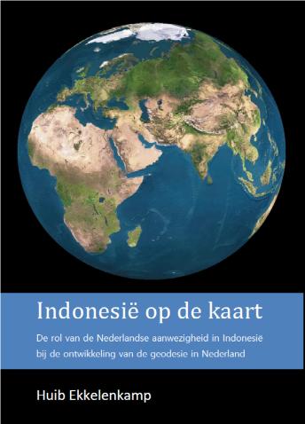
"Indonesia on the Map" focuses on how Indonesia has been mapped. It covers both hydrographic and topographic exploration, surveying and mapping. The maps of the Indian archipelago indicated the administrative and economic centres and showed the geography and topographical information of settlements, connecting roads and defences of the various islands. Available map material was used for trade, administration and development of territories.
Because of the culture system (1830-1870), about 840 million guilders was transferred to the Netherlands as a credit. This supported on average one third of the Dutch budget every year during that period. This made it possible to finance the railways in the Netherlands. The Royal Academy in Delft with the training of Indian civil servants, from which Delft University of Technology emerged, was largely paid from the Indian budget. Permanent Indian contributions to the Dutch budget stopped after 1875, as the money was needed for the Aceh War (1873-1914) and the construction of railways in Java and Sumatra.
For the building projects in the East Indies for infrastructure, especially roads, canals, harbours, bridges and rail-roads, but also for defences, churches, dwellings and public buildings, extensive surveying and detailed maps were made before construction started. The need for accurate maps on as large a scale as possible was recognised early on. This was given higher priority after disturbances, war or when roads, ports, railway lines or telecom links had to be built. In technical-academic training in the Netherlands in the 19th century, surveying and geodesy played a dominant role. Many engineers were trained in surveying and geodesy in Delft. Until 1800, land surveying was the only accredited and therefore the only graduate engineering course. Surveyors for the Dutch East Indies were trained at various institutions in the Netherlands.
Dutch methods were not directly useful in the East Indies. The mountainous landscape with volcanoes, the impenetrable forests and swamps, the climate with heavy rains, the higher humidity and temperature required a specific working method. The triangulation used differed; there were no church towers for triangulation as in the Netherlands. Between 1850 and 1950, the Dutch East Indies was largely mapped.
To a large extent, the experts' motivation lay in the interest, challenge by the achievement and fascination of the work, with new techniques, results and prospects for development.
The pay at the Topographical Service in the East Indies was usually lower than at a private company.
However accurate chronometers were, longitude was only reliably measured with telegraph signals in the East Indies. With the use of theodolites and radio signals from Radio Malabar, accurate and correct positioning became possible everywhere only from 1923 onwards.
It is clear that geodesy and geodesy education in the Netherlands owe much to the experience gained in the Dutch East Indies. But the Netherlands also still owes much to the Dutch East Indies and later Indonesia. This is true in both material and cultural terms. The research on "Indonesia on the map" shows that not only Indonesia has been put on the map, but that the Netherlands has also gained great international prestige and thus also put "the Netherlands on the map".
Without Indonesia, no TU Delft
News - 09 April 2019 - GRS secretariat
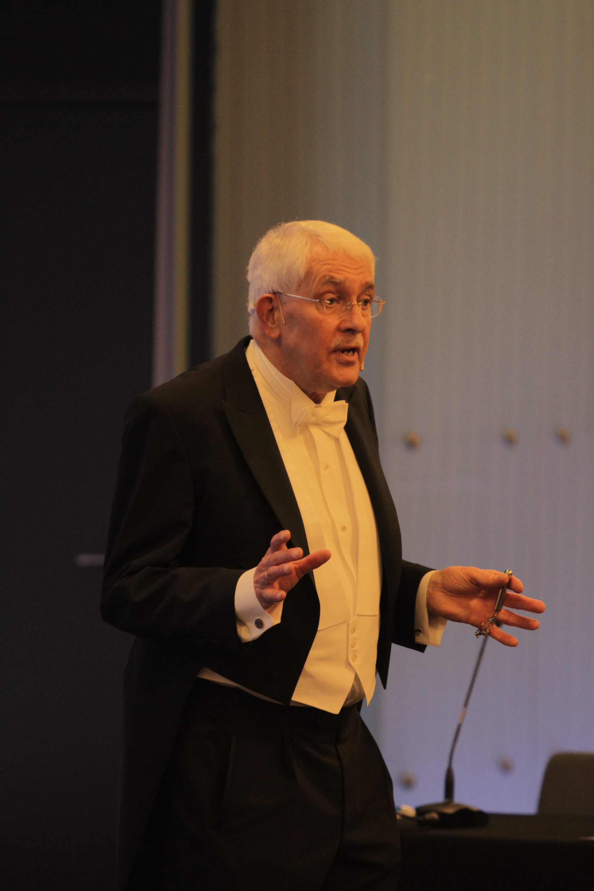
The establishment of TU Delft should be seen as a consequence of Dutch activities in Indonesia. This is the conclusion of ir Huib Ekkelenkamp (69), who received his doctorate on Tuesday 9 April on the role of the Dutch presence in Indonesia in the development of geodesy in the Netherlands.
In his thesis, Ekkelenkamp describes the close connection between the colonial history of the Netherlands and the development of technical sciences, in particular geodesy. This connection is often underexposed.
The colonial past in the former Dutch East Indies brought technical challenges that demanded quick solutions. In geodesy and surveying, engineers had to deal with phenomena unknown to them, such as plumb deviations due to volcanoes and atmospheric refraction caused by the tropical climate. As a result, the need for practical solutions resulted in a rapid deepening of theoretical knowledge. As a result, the Delft lecture material was constantly updated to reflect the latest insights. Dutch engineers had to be trained to work in the East Indies.

Theses to the thesis "Indonesia on the map" to obtain the degree of doctor at TU Delft on Tuesday 9 April 2019 by Huib Ekkelenkamp
- The emergence of engineering education by TU Delft cannot be separated from our involvement in the Dutch East Indies. Geodesy laid the foundation for this (this thesis).
- Geodesy education in the Netherlands owes much to the knowledge and experience gained from the Dutch East Indies. With its different working methods and environment, the East Indies brought new elements to the training, which thus became broader and more international (this thesis pages 331 and 349).
- Until 1873, the chosen order of work was: reconnaissance - survey - triangulation - mapping, and triangulation was used as a check on survey. When the Topographical Service realised that triangulation was the mathematical basis for surveying, the order became: reconnaissance - triangulation - surveying - mapping. This required a lot of extra time and cost for re-measurement (this thesis p. 225).
- Geodetic science rose to a significantly higher level as a result of Dutch colonial activities in the Dutch East Indies (this thesis).
- The mapping of Indonesia was mainly determined by historical developments, the administrators (this thesis chapter 2) and the close cooperation of military, engineers, administration officials and entrepreneurs described in this thesis (p 317 and 318).
- The prevailing negative assessment of colonialism in today's society is a barrier to seeing then positive contributions.
- Operating successfully in Indian society is impossible without taking into account the "silent forces". This requires a thorough knowledge of the culture and modus operandi.
- Building railways without surveying is like digging a tunnel without knowing where you will end up.
- A map, added to an article for clarification, should include all the topographical indications mentioned in the text, otherwise the value of the map diminishes considerably for the reader.
- One map can say more than 1,000 words, but a single word can significantly clarify a map.
- Even if Google maps shows us the way thanks to telecommunications, the charm of a paper map remains, as evidenced by the continuing popularity of paper maps, on which notes can also be made.
- Being "off the map" is rightly equated with being disabled. Taking that into account puts you back "on the map".
Short summary "Indonesia on the map
Making geographical information comprehensible and visible through maps has enjoyed great interest for centuries. This was especially true after the great changes in national and colonial territory around 1800. The new independence of America, the conquests in India by the British, the Batavian-French and English periods in the East Indies and the transfer of Dutch territories in Asia to Britain resulted in a great interest in new maps. Colonial activities in the 19th and first half of the 20th century made it constantly necessary to improve existing land and sea maps and map new areas. In this, the development of the field of science geodesy, including topography and hydrography, played a dominant role. For the Netherlands, reliable maps of the East Indies/Indonesia were of great importance. However, the influence of the colonial past on the development of new geodetic methods has hardly received scientific attention. It was investigated how the Indonesian archipelago was mapped between 1800 and 1990. In this thesis, we show, that the Dutch presence in Indonesia had a greater influence on geodesy and geodesy education in the Netherlands, than assumed until now. The Indonesian surplus contributed one-third to the Dutch state budget in the 19th century and made it possible to finance a considerable part of the Royal Academy in Delft, from which Delft University of Technology emerged. The described developments of cities and public works, railways and tramways, and telecom links in the East Indies, to which engineers contributed significantly, required extensive geodetic measurements by surveying, levelling, triangulation and hydrography. Meteorological and geological conditions resulted in perturbations due to atmospheric refractions and plumb deviations, which were different from those in the Netherlands. As a result, an adapted geodetic methodology was needed. Initially, triangulations were used as a retrospective check of the topographic recordings. It took a paradigm shift to realise that triangulation should precede those surveys, thus providing a mathematical basis for cartography. Results in the Dutch East Indies in the geodetic field were not inferior to developments in Europe and India. Through the experience gained in geodesy and related disciplines, such as gravimetry, photogrammetry and hydrography in the tropics, the Netherlands owes much to this and achieved great international prestige.
The thesis is available for 50 euros by sending an e-mail to huib.ekkelenkamp@gmail.com


Comments